10 Best Places to Visit in Sri Lanka – A…
1 min read
1
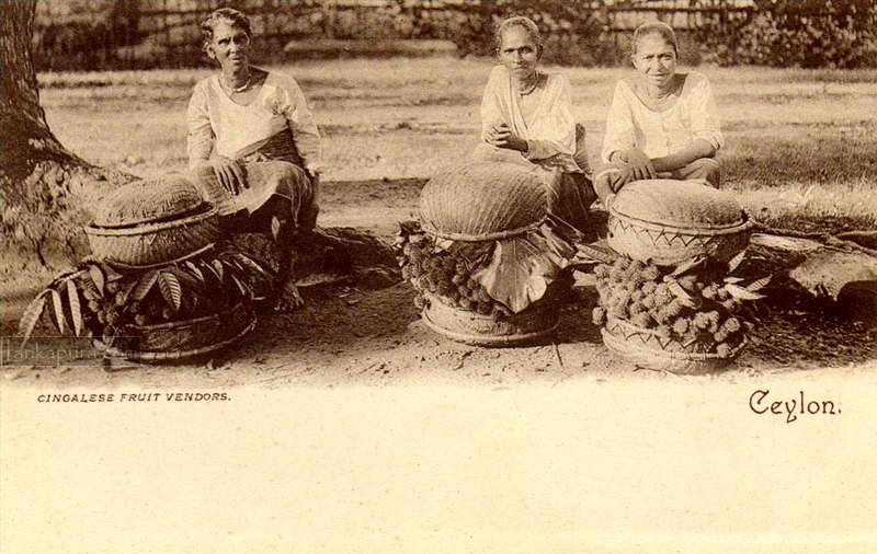
Rambutan fruit vendors c1905
This vintage photograph from early 20th-century Ceylon (now Sri Lanka)…
1 min read
2
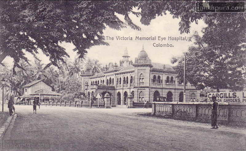
Victoria Memorial Eye Hospital, Colombo c1910s
Victoria Memorial Eye & Ear Hospital, Colombo c1910s The Victoria…
1 min read
0
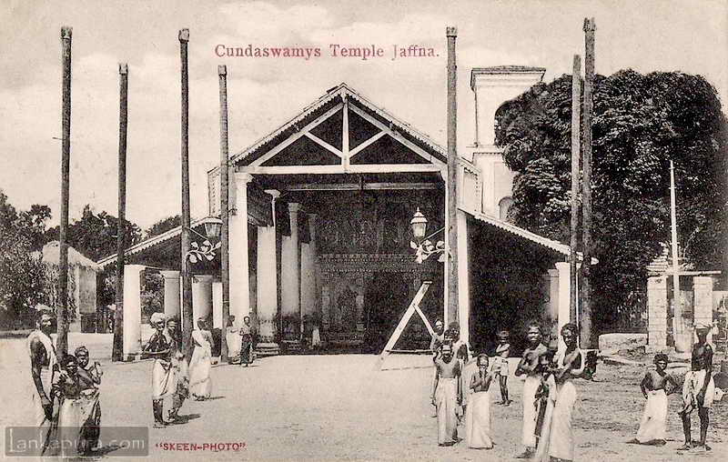
Nallur Kandaswamy Kovil Jaffna
Nallur Kandaswamy Kovil (Murugan Kovil) or Cundaswamys Temple c.1909 Cundaswamys…
1 min read
4
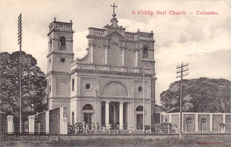
St. Philip Neri Church, Negombo c1914
St. Philip Neri Church, Negombo, Sri Lanka c1914 St. Philip…
1 min read
3
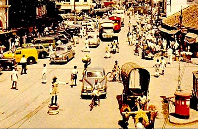
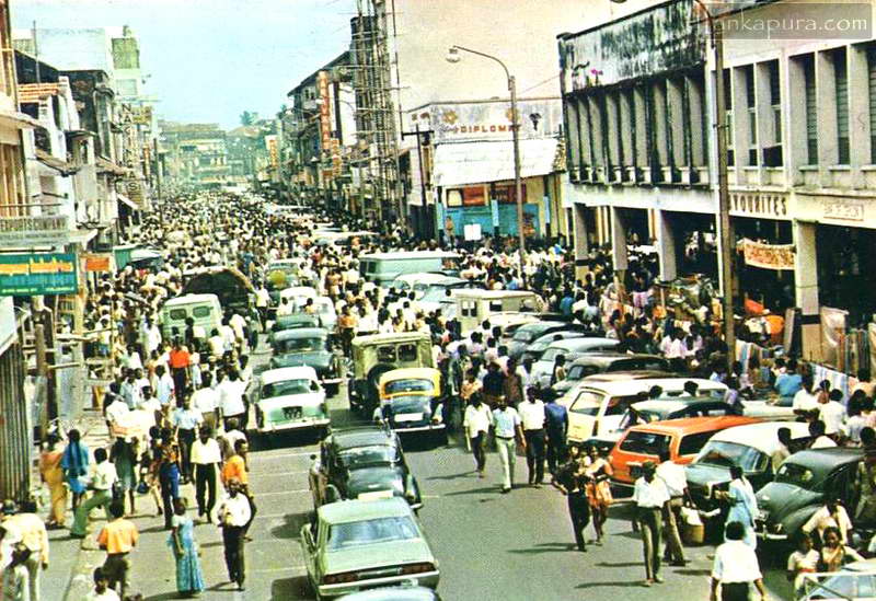
Main Street in Pettah, Colombo 1980’s
Busy street scene, Main street, Colombo, Sri Lanka in 1980's…
1 min read
2
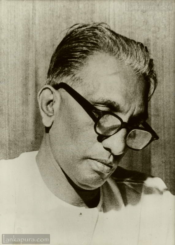
The Honorable I.M.R.A Iriyagolle, Politician 1965–1970
Honourable I.M.R.A Iriyagolle, Cabinet Minister of Education and Cultural Affairs…
1 min read
0
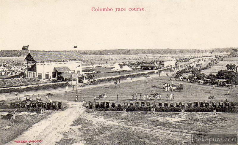
Colombo Racecourse in Cinnamon Gardens, c.1913
Colombo Racecourse in Cinnamon Gardens, c.1913 by Skeen & Co,.
1 min read
0
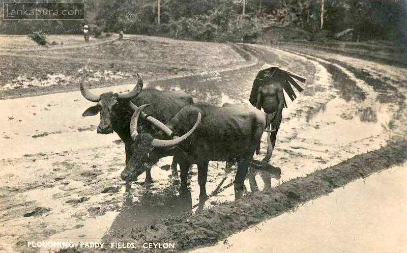
Water Buffalo ploughing paddy fields
A water buffalo working on the rice paddy in Sri…
1 min read
0
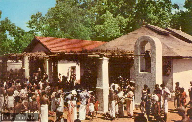
The Holy Shrine Of Kataragama, Sri Lanka 1966
Kataragama Kataragama Maha Dêvalê in 1966 Kataragama (also Katharagama, Katirkamam…
1 min read
1
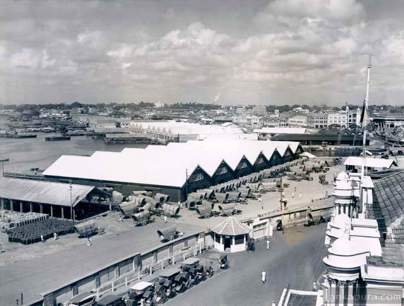
Aerial View of Colombo Docks Sri Lanka in 1942
View of Colombo Docks Sri Lanka in 1942 Photograph Title:…
1 min read
1
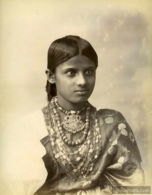
Young woman vintage portrait in Sri Lanka c.1880-90s
Young woman vintage portrait in Sri Lanka c.1880-90s Portrait of…