A Bertius map of South India and Sri Lanka A Bertius map of South India and Sri Lanka, printed c.1600-1618 #IMG551 « Back | ^ | Next » Share Post Pinterest reddit Messenger Whatsapp tumblr
Prints & Artwork 17th Century Map of the fort at Galle Sri Lanka 1790 Bawantha May 13, 2009 1 min read 2
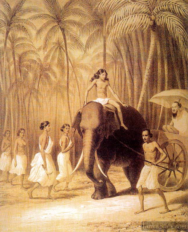
Drawings & Manuscripts Prints & Artwork Elephant Cart, Ceylon Bawantha June 26, 2008 1 min read 1 Route between Colombo and Kandy

Hi
could you prices for sri lanka maps