
Historic Images of Sri Lanka
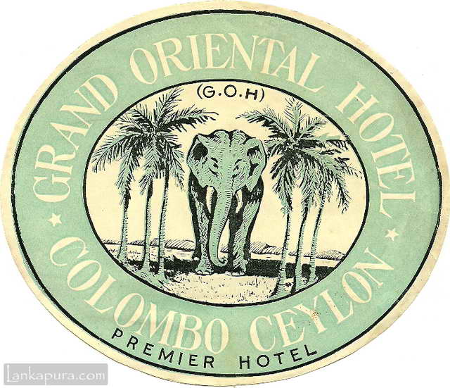
Grand Oriental Hotel luggage label, Ceylon early 1900s #IMG754
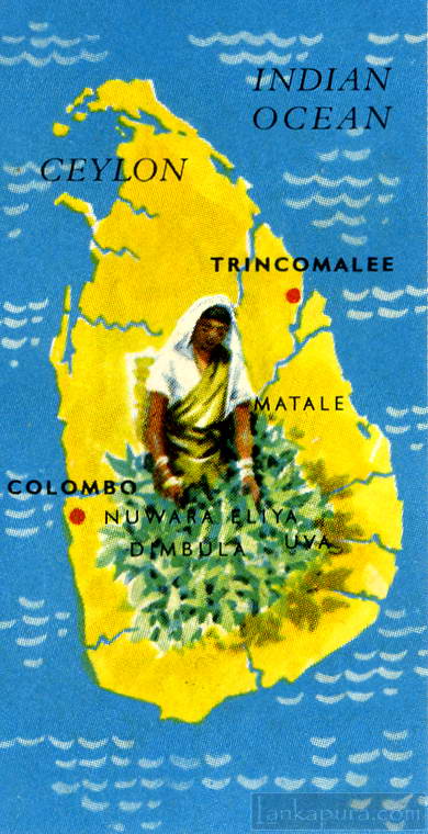
No. 1. The Island of Ceylon “Pearl of the East” #IMG764a Whole set of 24 Seymour Mead & Co. LTD (TEA) Trade cards, on Ceylon, her tea and other industries “THE ISLAND OF CEYLON”, Issued in 1955. (series A) Ceylon lies immediately south of India, separated from it by the narrow Palk Strait. It is […]
Sigiri (Lion Rock) is a unique ancient fortified city with Moats, Ramparts and Gateways.
Hi
could you prices for sri lanka maps