A Bertius map of South India and Sri Lanka A Bertius map of South India and Sri Lanka, printed c.1600-1618 #IMG551 « Back | ^ | Next » Share Post Pinterest reddit Messenger Whatsapp tumblr
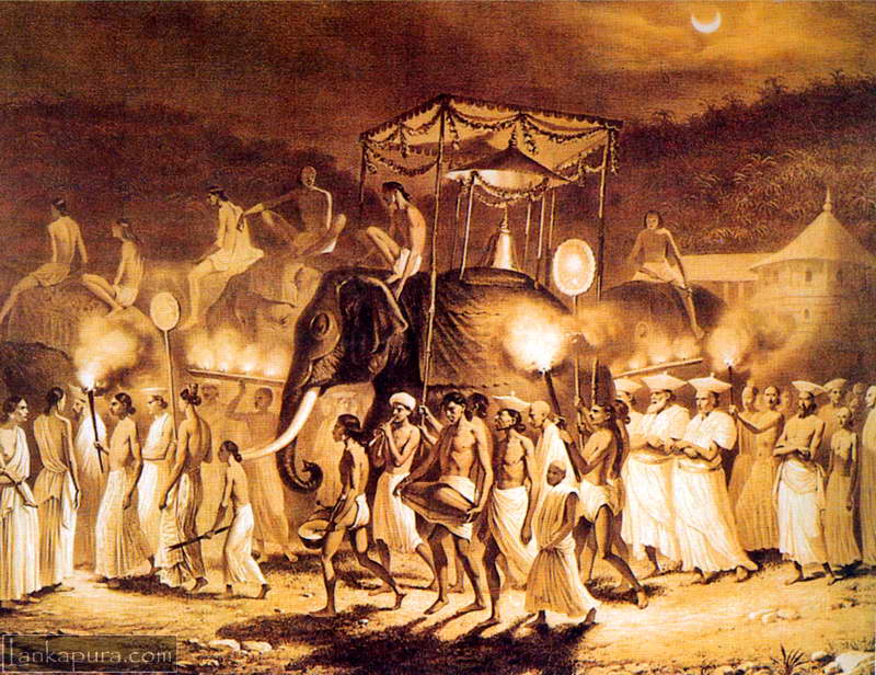
Prints & Artwork Government official visiting native village Bawantha July 4, 2008 1 min read 2 p.105 – Click on Image to View Full-size Photograph Illustration of a government official visiting native Sinhalese village
Prints & Artwork Antique map of Mannar Dutch Fort Sri Lanka 1726 Bawantha March 16, 2010 1 min read 0

Hi
could you prices for sri lanka maps