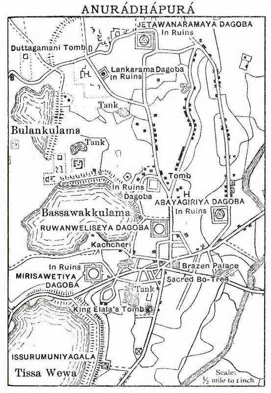
Anuradhapura map
Publisher: ‘A handbook for travellers in India, Burma and Ceylon’ edited by Sir G. Hearn, 15th edition, (London: J. Murray; Calcutta: Thacker, Spink and Co., 1938).
Date(s): 1938.
Historic Images of Sri Lanka
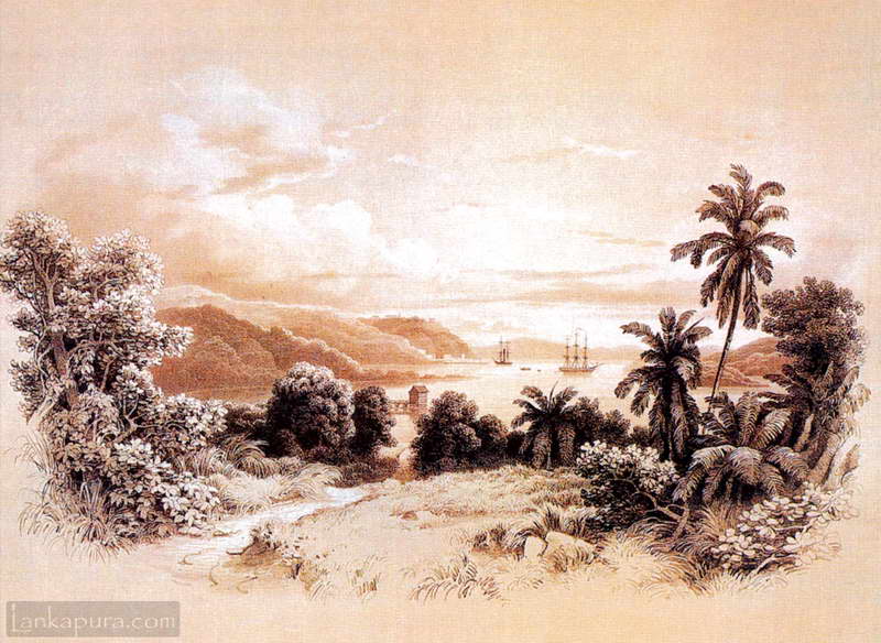
Artists view of Bay of Trincomalee c1800s #IMG703 Image submitted by Niranjan Karunathilake
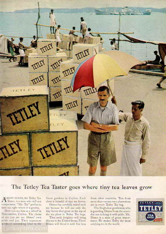
Magazine advertising: Tetley’s Tea Taster Trincomalee Wharf , Sri Lanka 1959 #IMG766a Magazine advertisement published in 1959 The Tetley Tea Taster goes where tiny tea leaves grow! Albert Dimes, the Tetley Tea Taster, is a man who not compromise. “Mr. Tea” prefers to taste tea right where it is grown. Here you see him at […]
Anuradhapura is the oldest city in acient in Sri Lanka and most recent city to have been designed as a 20th century city. The government decided to remove all residences from the old city (sacred city) developed the new city as you see it today under the Anuradhapura Presevation Board project starting from 1940s. That is why you will see the well demarkated roads with strategically placed roud-abouts (traffic circles) and schools.
I AM PROUD ANURADHAPURA