Isle of Zeilan, Old Map of Taprobana Isle of Zeilan, Old Map of Taprobana #IMG163 « Back | ^ | Next » Share Post Pinterest reddit Messenger Whatsapp tumblr
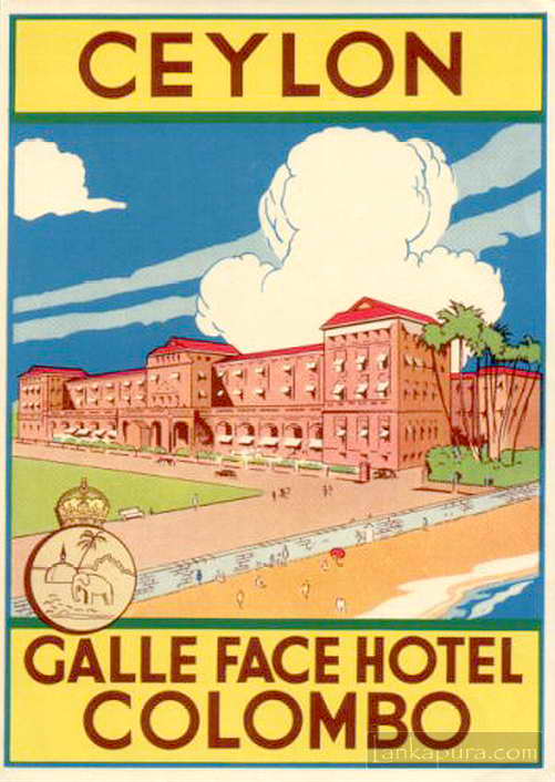
Prints & Artwork Vintage Posters Galle face hotel luggage label advertising Bawantha January 26, 2011 1 min read 0 Galle face hotel luggage label advertising #IMG768
Prints & Artwork 5th Century Fresco wall paintings at Sigiriya (Lion Rock) Bawantha October 3, 2008 1 min read 1 Sigiri (Lion Rock) is a unique ancient fortified city with Moats, Ramparts and Gateways.
Prints & Artwork Packing Cinnamon For Export in 1884, Sri Lanka Bawantha February 7, 2009 1 min read 0

When was this map drawn, how and by whom? – It’s delightful !!!