
Title: VOC Map of Colombo & surrounding
Date: 1750-1800
Technique: coloured drawing
Photography/Artist: Wohlfarth, C.C. (land surveyor / mapmaker)
Locations: Colombo [Columbo, Calamba, Kolombo, Colombe]
Historic Images of Sri Lanka
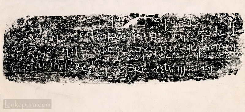
Nagirikanda inscriptions of Sri Lanka #IMG700
Dalada maligawa Kandy 1800s #IMG691 Kandy (candy) temple of buddha (budha) dalada maligawa
What do you mean by VOC? and to which time period this map belongs?